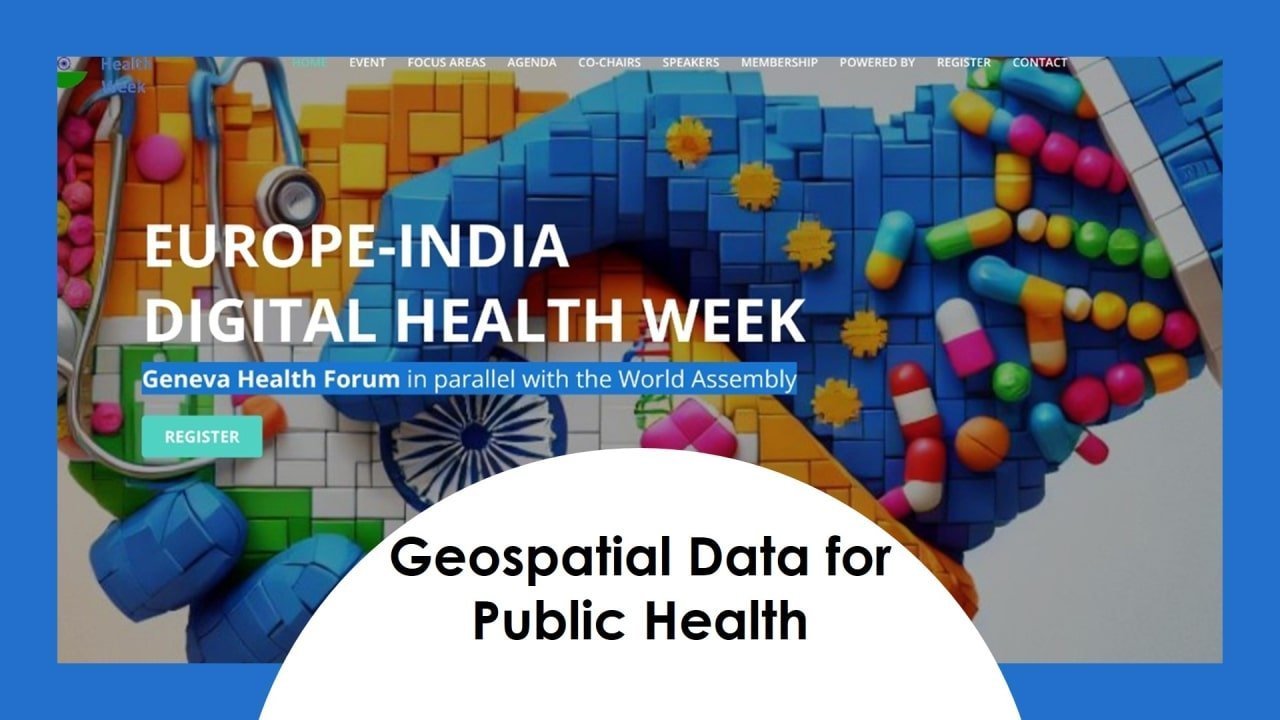
This past week, the Europe-India Digital Health Week in Geneva and Online brought together experts from around the world to explore the exciting intersection of geospatial technology and public health. Prashant Hedao and Ravi Shankar kicked off the event with an overview of the WHO GIS Center, a relatively new initiative launched in 2022 to empower WHO member states with the power of geospatial data and analysis. The Center’s focus is broad, encompassing advocacy, technical support, and capacity-building efforts. Notably, they’re working to establish dedicated GIS centres in countries like Somalia and Turkey.

The event also featured presentations showcasing the power of Earth Observation data for public health applications. Stefano Ferretti, representing the European Space Agency (ESA), highlighted their collaborative projects with India and other partners. These projects leverage satellite data to tackle various public health challenges, including waterborne and vector-borne diseases, as well as non-communicable diseases. Capacity-building initiatives were also emphasized by ESA, ensuring wider adoption of these powerful tools.

Jojo Mehra from eGovernance Foundation presented their innovative “Digital HCM” platform. This platform aims to revolutionize public health campaign management by providing a centralized and interoperable system. By leveraging shared data registries and reusable components, Digital HCM promises to streamline the planning, operations, and monitoring of public health campaigns.

Cyrus Reginald from Khushi Baby showcased their digital health platform, specifically designed for maternal and child care in Rajasthan, India. His presentation went beyond the platform itself, delving into their work on a climate vulnerability index. This index aims to predict health risks associated with climate change, a proactive approach with significant public health implications.

The event also featured presentations focused on India. Nandini Menon from NERCI shared her research on using earth observation data, citizen science, and spatial analysis to understand the environmental factors influencing waterborne diseases in Kerala. Her work underscored the importance of data quality and integration across various sectors for effective public health interventions.

Taking a more specific look at a local challenge, Jayanthi Shastri from the Maharashtra University of Health Sciences presented a case study on a leptospirosis outbreak in Mumbai. This presentation highlighted the effectiveness of a “One Health” approach, which fosters collaboration between human health, animal health, and environmental sectors. Such collaboration is crucial for tackling complex public health challenges.

The event concluded with closing remarks by Sofia Roque and Ravi Shankar. They emphasized the importance of collaboration, data integration, and a “one planet” approach when leveraging geospatial technologies for public health. By working together and harnessing the power of geospatial data, we can create a healthier world for all.
Want to dive deeper? The full recording of this insightful event is now available on YouTube here. Don’t miss this chance to learn from leading experts and explore the potential of geospatial technology to revolutionize public health!

